 Adventure Plans
Grey Crag, Tarn Crag and Branstree
1. Introduction
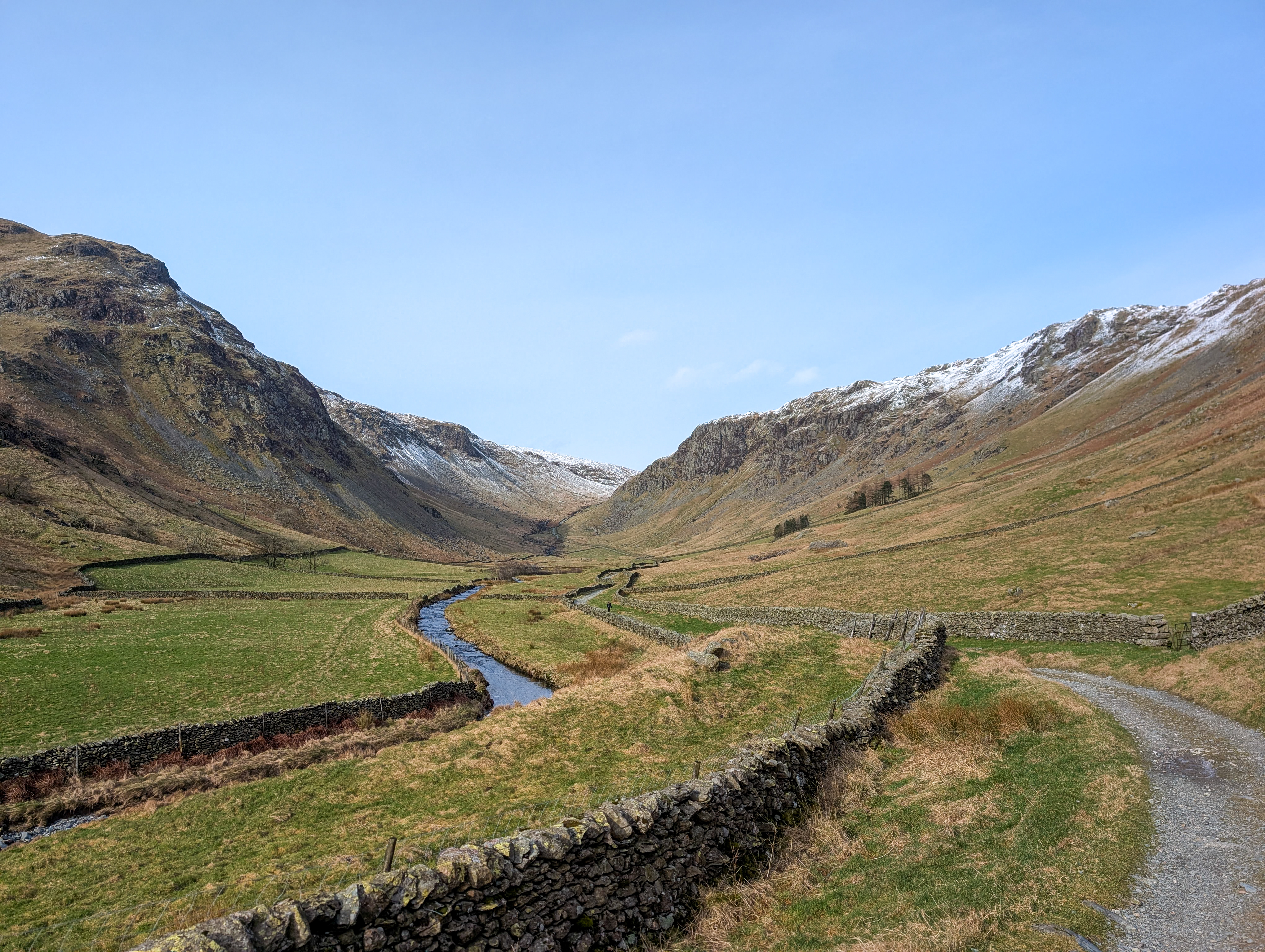
This is lovely walk at the top of Longsledddale starting from Sadgill. You'll hike over 3 Wainwrights in some of the more quiet Lake District fells. A great option for a winters day or those wanting to escape the crowds
2. Getting there
The upper reaches of Longsleddale aren't reachable by public transport so you'll need to drive unless you are particularly adventurous. When driving there from the south the roads are best if you route through Kendal. Some times navigation apps suggest to go via Burneside but we wouldn't recommend this route as it unnecessarily routes you on tight roads.
3. When to go
Like most hikes in the Alps, the season is mid-June to mid-September when the huts are usually open. It is possible to hike outside of this window, but it will depend on weather conditions and the snowfall of the previous season. Early in the season, there are normally more wild flowers and snow-capped peaks, but there is the risk of snow on the high passes. Mid-July to August can be hot, and the trails are busy, but normally the paths will be snow-free. September provides quieter trails and pleasant temperatures, but many of the lush meadows will have started to fade.

4. Accommodation
There are plenty of mountain huts and Gîte d'étape en route, so for those that want the comfort of a bed, lighter pack and freshly cooked meal, it's a great option. Many of the mountain huts will allow camping too, so for those that want the flexibility of wild camping/bivouacking but would like toilets and showers, do make sure to check before, though, as some don't allow campers. Wild camping is a great way to experience the wilder parts of the area and needs less planning ahead of a trip, making it a great last-minute option and for those who like flexibility.

5. Resupply
There are several places to pick up supplies on the way: Abriès, Aiguilles, and Arvieux. Each has at least one small shop where you can buy local produce and basic supplies. We didn't find any dehydrated meal pouches in these shops. There are also bakeries in each of these towns to sample the best of French cuisine.

6. Navigation
Like much of the Alps, navigating is very easy. There are frequent signs at trail junctions pointing out where the route goes and the next notable points. These will sometimes state the time to a point and/or the distance. We often found that the stated times were a worst case, and we usually arrived sooner, even with stops.

Between signs, you will also frequently see the below white and red striped symbol. These can be a nice confidence boost that you are still on the right track when there are long gaps between signs. They are often painted on trees, rocks, and posts. In towns and villages, they may be on street signs or buildings. There is often a slightly different symbol when the route goes around a sharp bend.

For mapping, we would recommend using the IGNrando app. This allows you to download detailed topographical maps to your phone. When going on a longer hike, we would recommend that at least 2 devices across a group have the maps downloaded for redundancy. For those who prefer a paper map, these are also available from IGN.
On our trip, we had part of 2 days where we went through Italy; the IGN maps don't properly cover Italy in detail. We found this to be fine in this case, as the details we needed were still there, and the signage on the ground was sufficient.
Read More
-
 The John Muir Trail
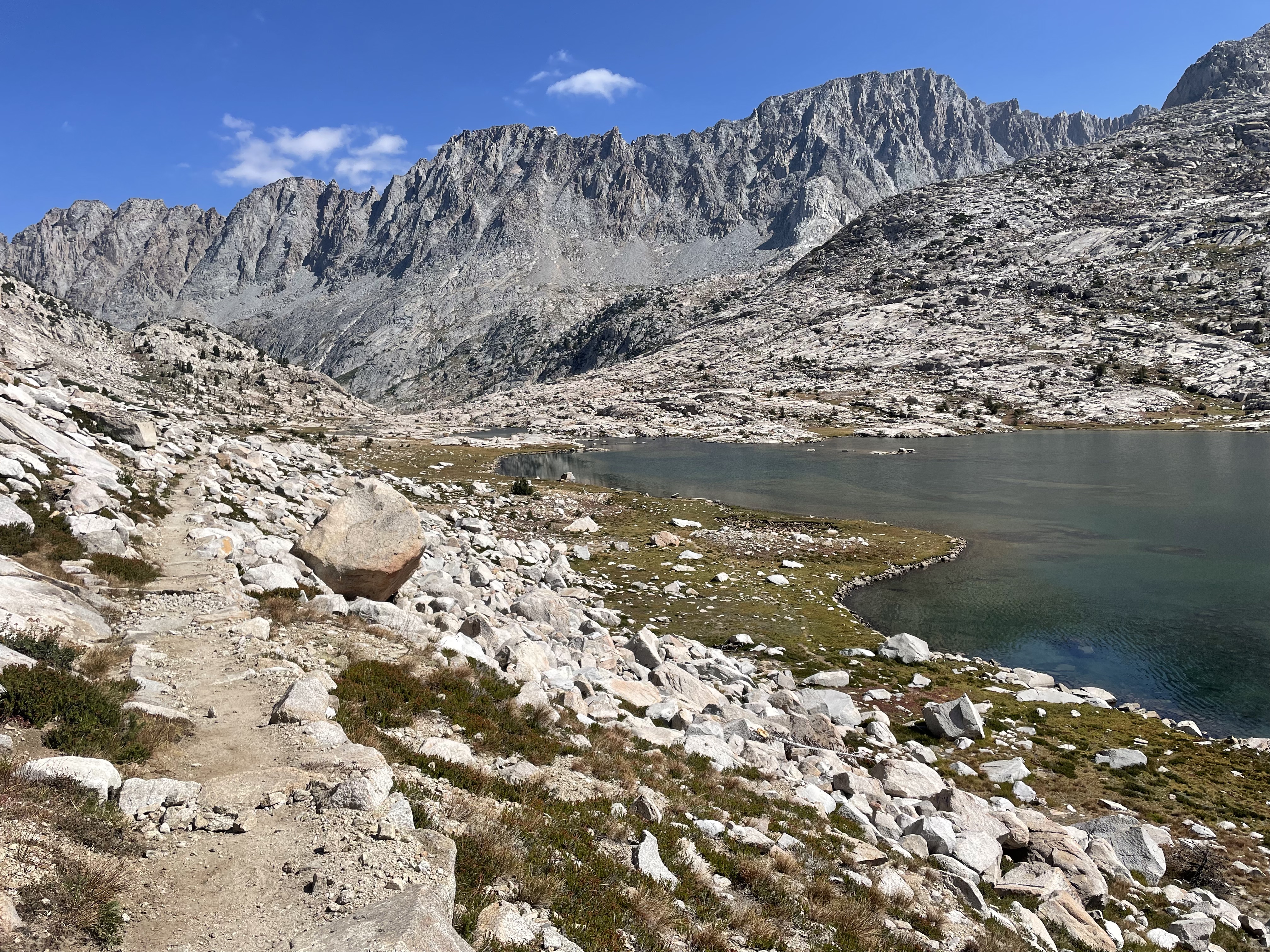
The JMT is a long distance hiking route through the Sierra Nevada Mountains in California (USA). The route starts in Yosemite National Park and finishes 211 mil…
-
Cambrian Way Wales
A rugged mountain-led traverse from Cardiff to Conwy crossing the Brecon Beacons, Cambrian Mountains, and Eryri with sustained upland exposure.