The John Muir Trail
1. Introduction
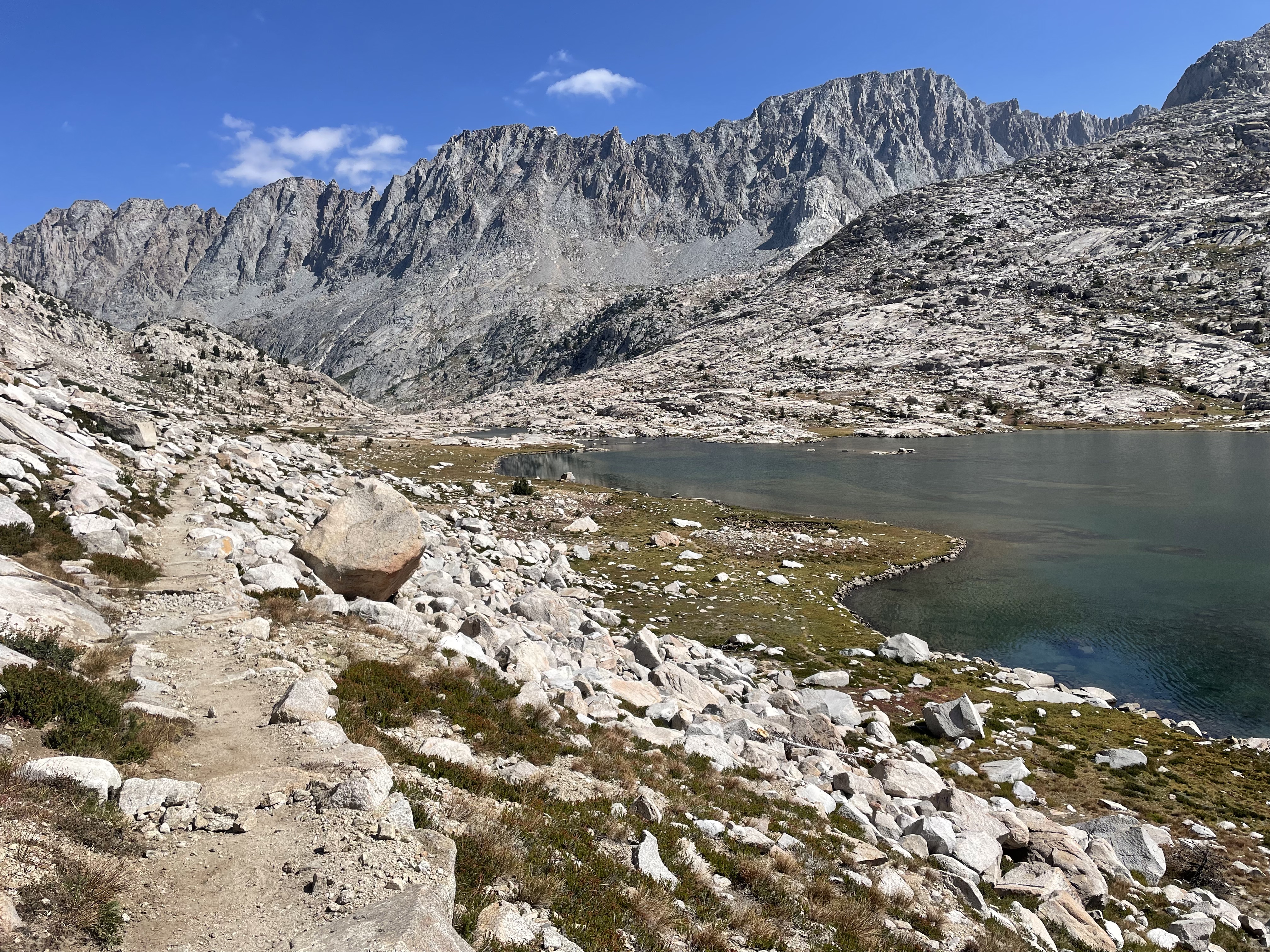
The JMT is a long distance hiking route through the Sierra Nevada Mountains in California (USA). The route starts in Yosemite National Park and finishes 211 miles south on the summit of Mount Whitney, which is the highest peak in the lower 48 US states. The route follows much of the PCT (Pacific Crest Trail) and can be completed in either direction.
The JMT trail goes through some amazing wilderness scenery and has been on our bucket list for a few years. We decided it was now or never so in August/September 2025 we flew to California and hiked the trail from south to north (NOBO) and completed it in 15 days.
2. Before you go
The JMT hike goes through multiple US National Parks and Wilderness areas which means a permit is essential. Permits are generally released 6 months ahead of the date you want to start the hike. This can make it tricky to plan if you are coming from overseas, like we did.
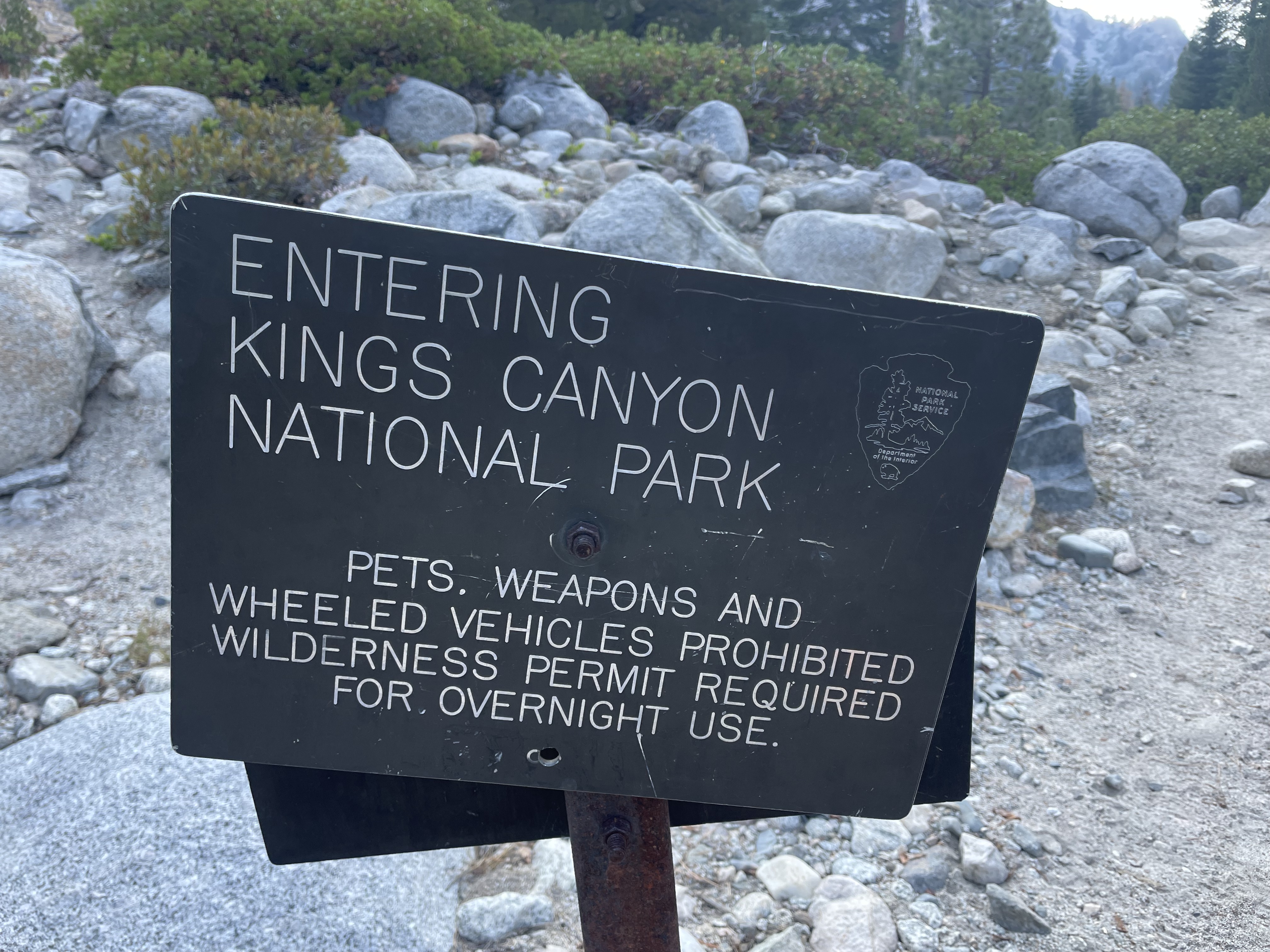
Permits going SOBO (starting in Yosemite) are more competitive than going NOBO which is why we opted to go north. We figured we wanted to do the hike and didn't mind which direction it was in. More information on permits can be found here: JMT permit information Permits starting at Whitney Portal are very competitive as you're competing with other hikers who might just be wanting tackle Mount Whitney and not just JMT hikers. Our permits started in Cottonwood Lakes as this was relatively easy to get and we were still able to hike the whole length of the trail from here.
3. Getting there
Getting to/from the southern terminus of the hike is a challenge whether this is Cottonwood Lakes trail head or Whitney Portal. We flew into California so didn't have a car we could drive to the trailhead (or halfway) and leave whilst on the hike. There also isn't any public transport to the southern terminus. To get here, the best option is to hitch are ride or find a trail angel (see the JMT Facebook pages for more info on trail angles). We were lucky enough to have family members who could drop us off at the trail head.
The northern terminus is easer to access as you can get a YARTS bus between Yosemite Valley and Merced. Merced has a train line which will get you to San Francisco. Once we arrived in Merced we got a one-way hire car so we could have some more time exploring the Sierra Nevada Mountains and then eventually drive back to San Francisco Airport.
4. When to go
The hiking season of the JMT is June to September. We prefer to visit high mountainous area from July, when the mountain passes should be cleared of snow. We tend to also visit slightly later n the season when the school holidays have finished and the temperatures aren't too high, so September is out preferred month. For the JMT we booked our permit to start the hike on 20th August. We started the trail on the weekend of the first storm they'd had all summer so for the first few days it was never that hot either.
5. Accommodation
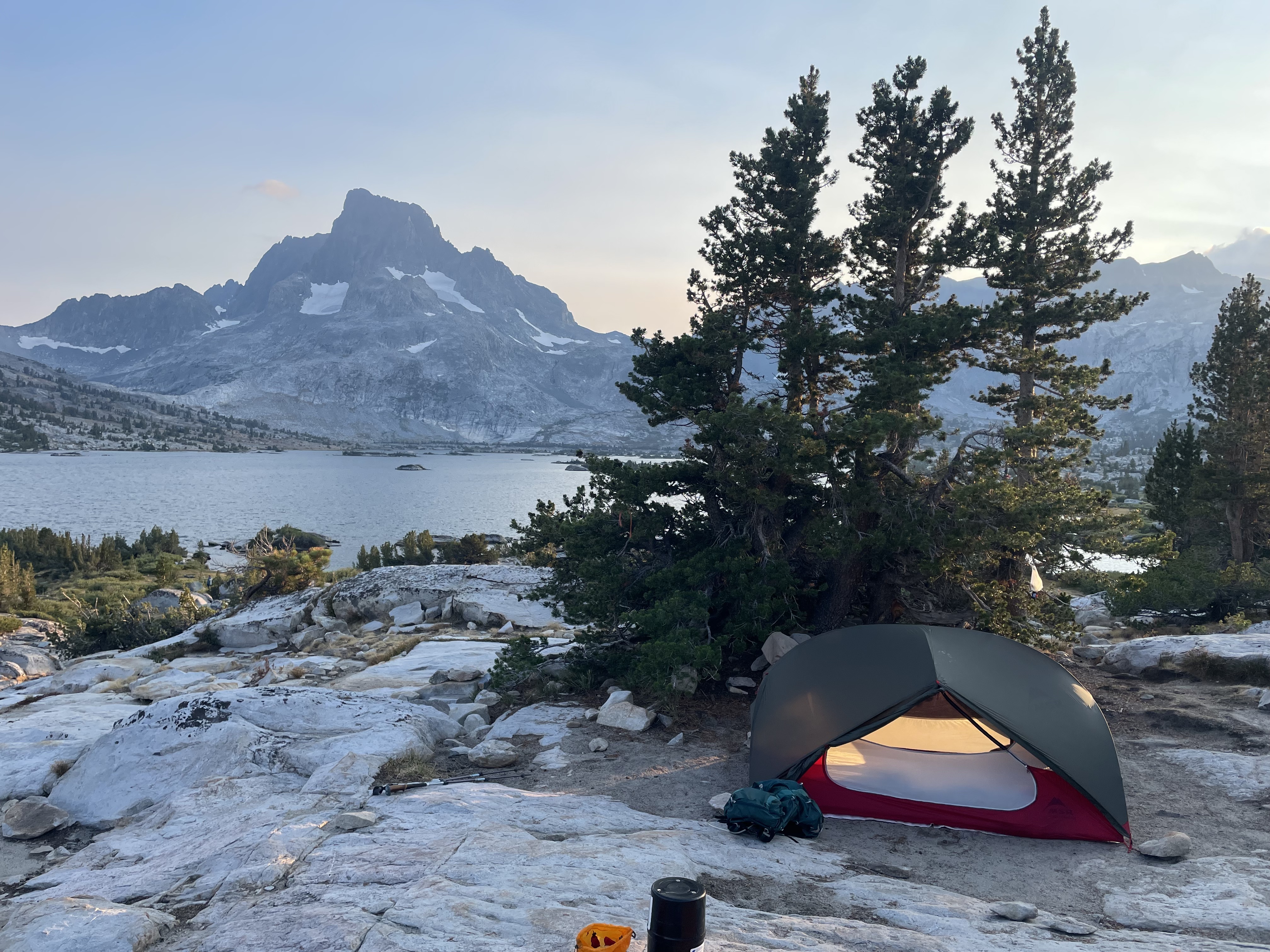
The only accommodation on the trail is the tent in your backpack. This is one of the main reasons why we chose to travel all the way to the USA for a hike. In much of Europe, wild camping is illegal so we really wanted to go somewhere where we wouldn't get in trouble for camping. And it was so worth it! The culture in the USA is so different to home, so much better! You can pitch your tent at whatever time you like and leave you campsite whenever you like. This is very different to places we have camped/hiked before such as France, where in general you are not allowed to pitch your tent until 7:00pm and have to be packed away by 9:00am. In England we try and pitch our tent as late as possible and in the morning leave as early as possible.
We used the Far Out app to help us find the best camping spots each night - more on that in the Navigation section below.
6. Resupply
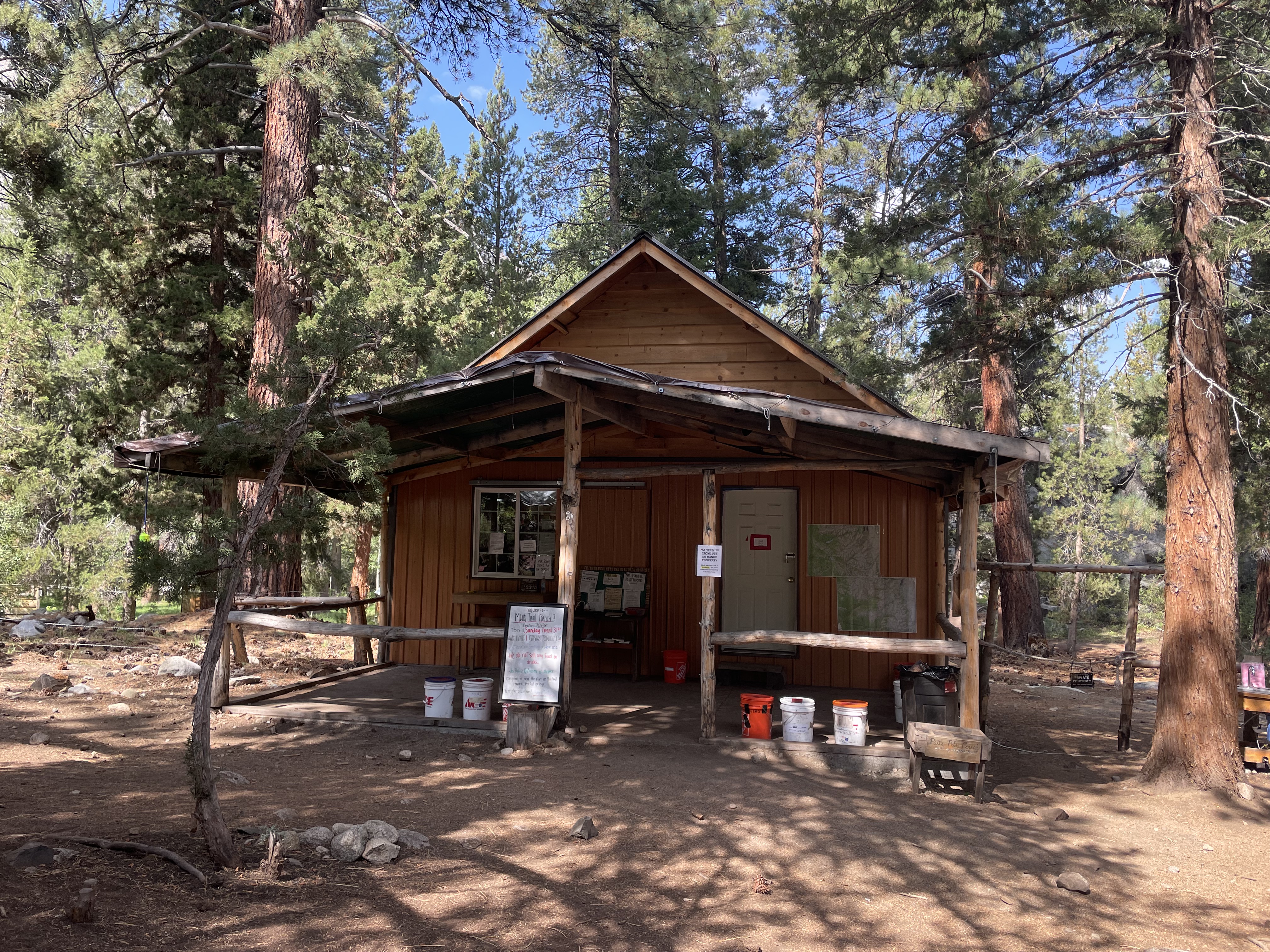
There are several places to pick up supplies on the way: Muir Trail Ranch (MTR), Red's Meadow (Reds), Vermilion Valley Resort (VVR) and Tuolumne Meadow. There are also several towns out of the Sierras where you can resupply by taking a side trail to reach, these include: Independence, Bishop and Mammoth.
As we only has a limited amount of time to complete the trail, we didn't want to have to take a side trail to get to our resupply, so we resupplied at MTR and Reds. Unfortunately this did mean we started out on the hike carrying 8 days of food (heavy bags!) to get us to our first resupply at MTR.
Our family in the USA helped us out with our resupply boxes by sending on all the food we sent out to MTR and Reds a couple of weeks before we started hiking. We spent a lot of time in the winter before this hike making all our own trail meals. We then shipped these over to the USA, where they were repacked into the special bucket you need to send your resupply in (essential for MTR and advised for Reds). These were then shipped on to MTR and Red's for us, roughly 2-3 weeks before we aimed to arrived.
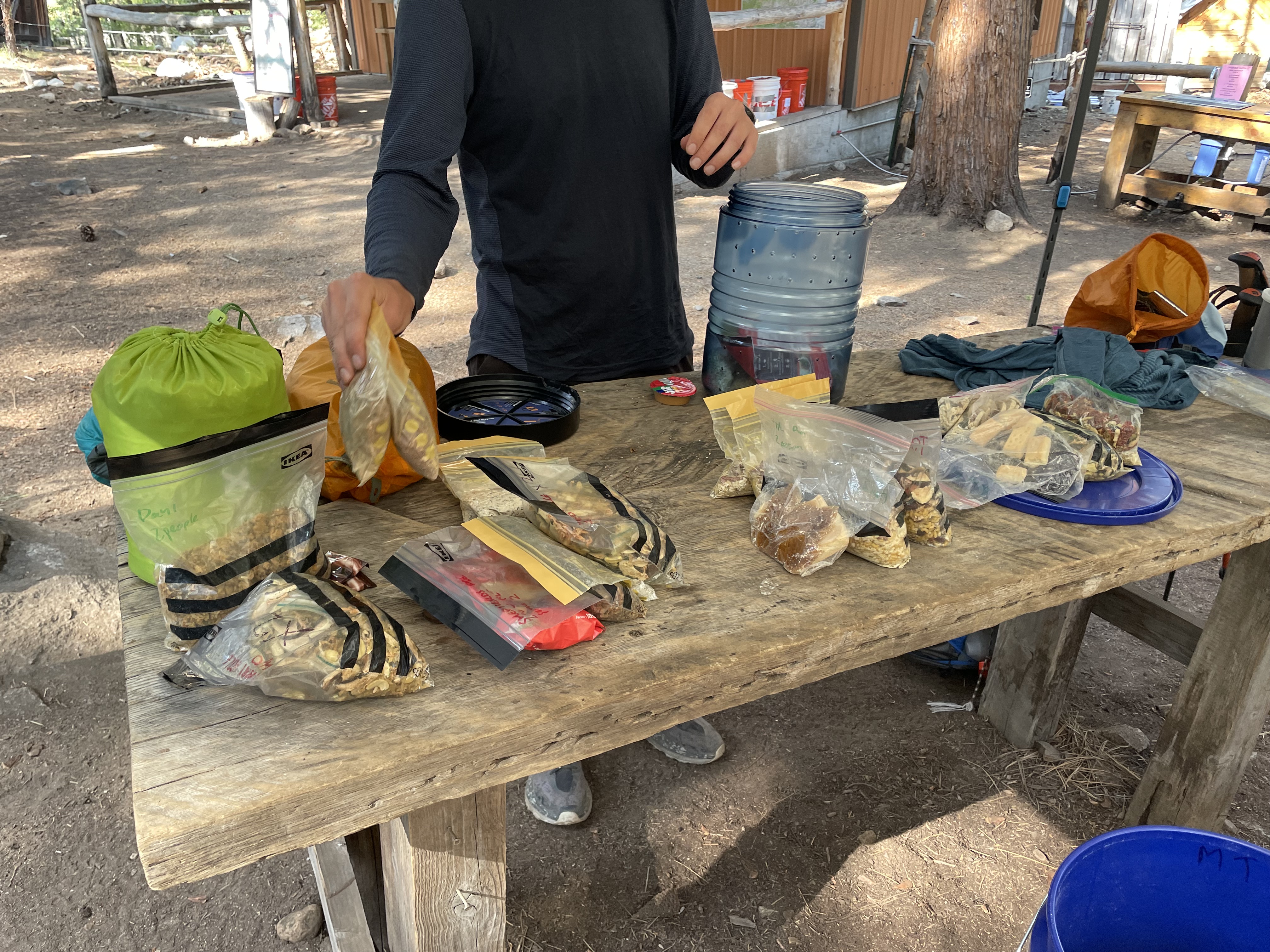
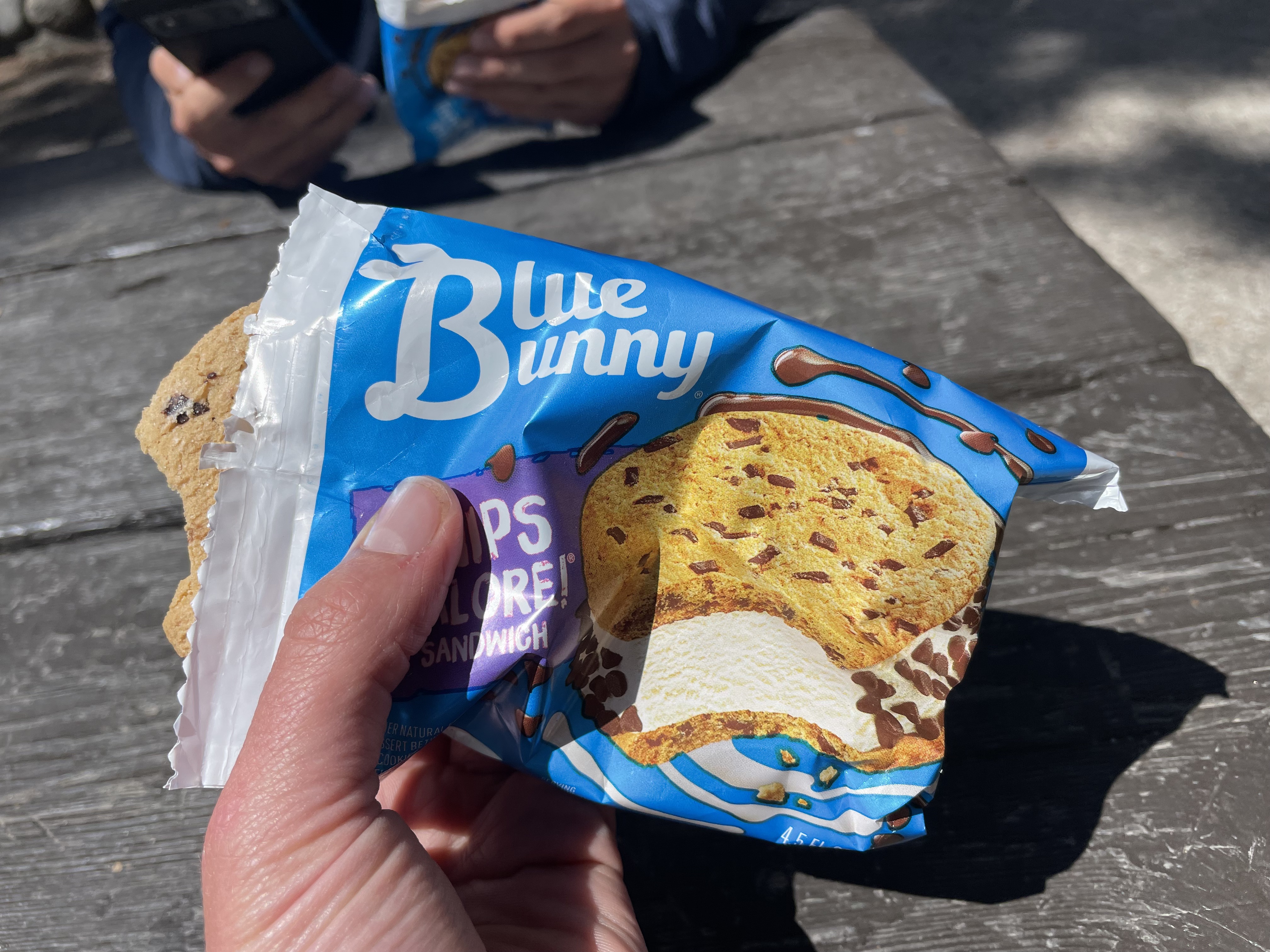
There are is a small shop at both MTR and Red's. You won't be able to resupply at MTR as this shop is mostly stocked with just hardware. Which is great if you have forgotten or broken your headtorch, toothbrush, bug-net, flipflops etc. The shop at Red's was great for getting snacks you might have been craving on the trail, and they also did sell hiker foods but these can be quite expensive. Both places had amazing hiker boxes - these are boxes with other hikers unwanted food and toiletries. From these you could pick up snacks, homemade dehydrated meals, vitamins and much more. We picked up some peanut butter and extra suncream!
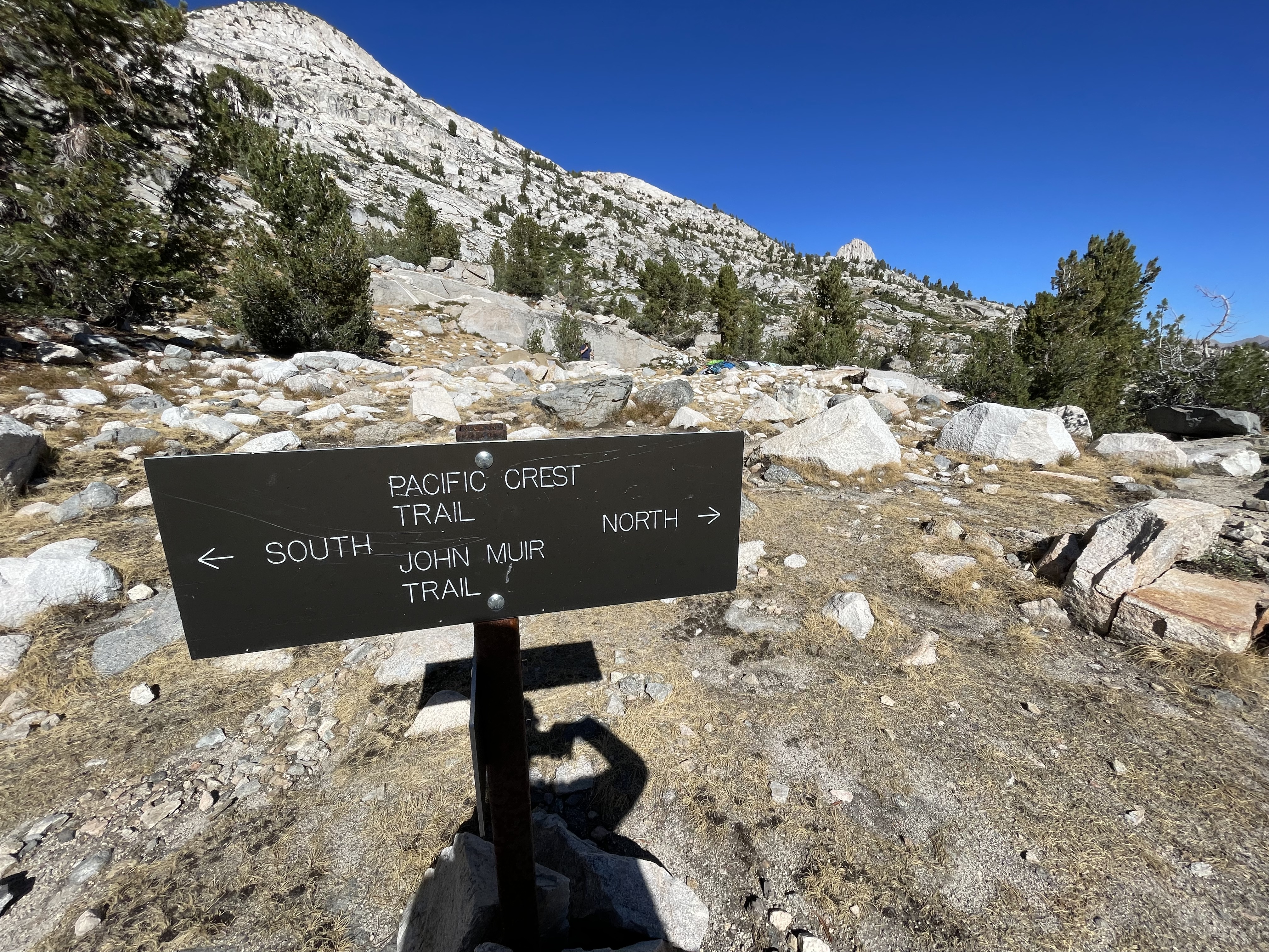
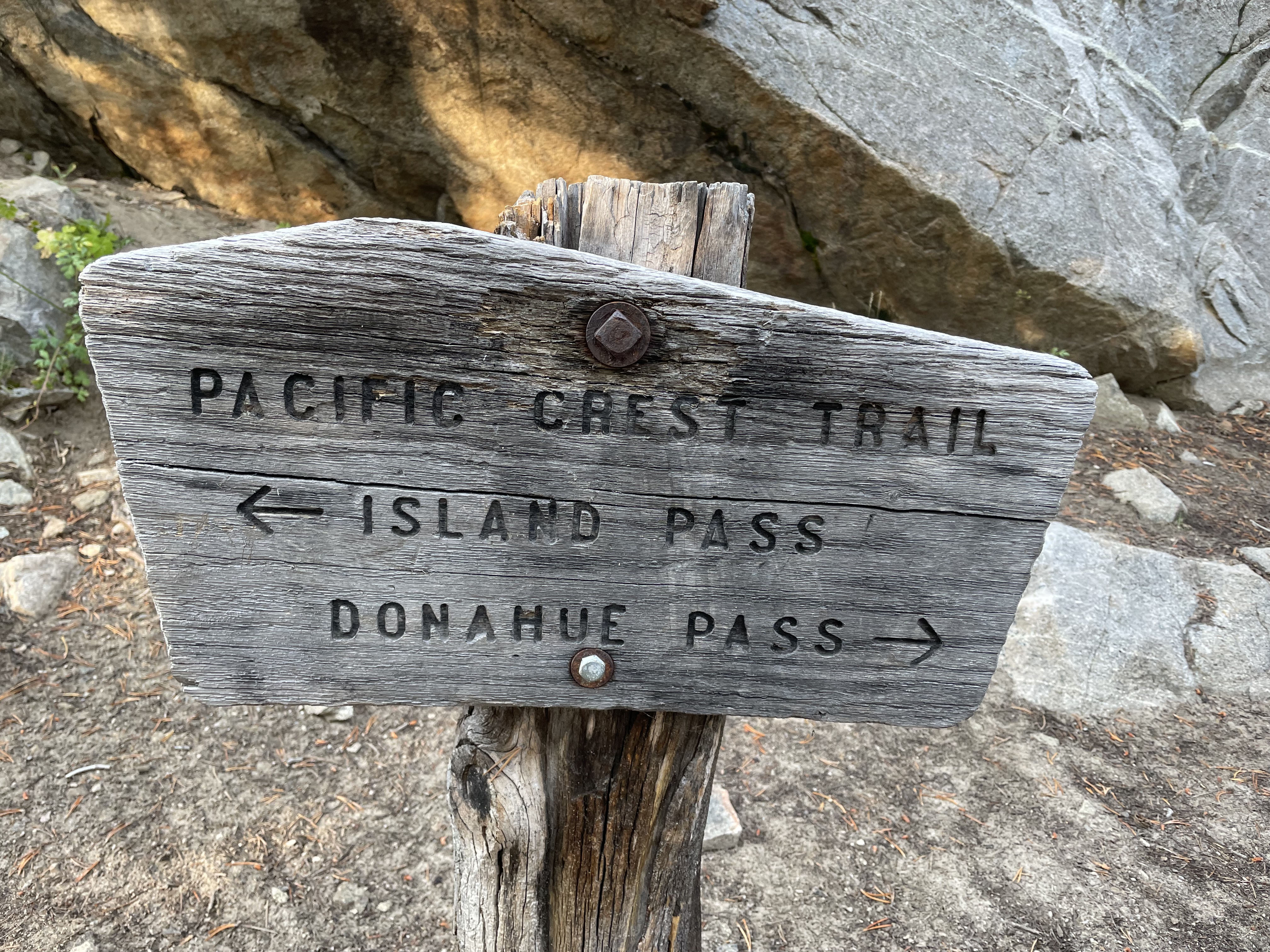
7. Navigation
We found navigating the JMT to be fairly easy. Once you get onto the JMT, there aren't many other trails or trail junction which therefore makes finding your way very simple. Where there are junctions, these usually lead to trailheads and are signposted as such. We didn't use a paper map but prior to going, we downloaded the JMT route on the Far Out app. We hadn't used the app before but once on trail we found it to be really easy to use and very useful for finding camp grounds and water supplies! We would definitely recommend getting the app before hitting the trail. The app route is tailored for someone walking SOBO but was also fine to use going NOBO.
Thanks for reading and happy trails!
Spot something outdated or unclear? Send us a suggested improvement for this page.
Read More
-
 Grey Crag, Tarn Crag and Branstree
This is lovely walk at the top of Longsledddale starting from Sadgill. You'll hike over 3 Wainwrights in some of the more quiet Lake District fells. A great opt…
-
Lycian Way West Turkey
A coastal mountain traverse from Fethiye toward Kas with regular resupply, marked footpaths, and steady 12-day pacing.